Warrenton GIS

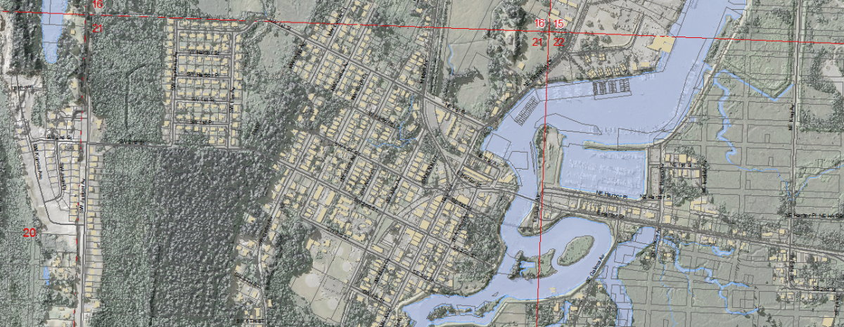
Using the power of computer mapping and database technology, a Geographic Information System (GIS) combines map layers and data sources to portray relationships hard to understand without a graphic perspective. Warrenton City users include departments and managers who need to make decisions about managing the city’s resources, as well as the public, interested in understanding zoning and environmental conditions in the community.
Our GIS is managed in the Department of Public Works. Data on streets, dikes and levees, tide gates, public utilities, property parcels and zoning are used by that department and by planners and city administrators. Many map layers, especially those relating to the public utilities are developed from in-house sources. Other data, such as the tax lot base, are supplied by Clatsop County. Still other data come to us from various state and federal sources.
For detailed information on the city’s GIS contact:
Public Works Analyst at 503.861.0912
A word about data
Care is taken to provide the best information available but the essential nature of GIS as a powerful integrator of data sources inevitably means some data are of a higher quality than others. Information found in Warrenton’s GIS is what we use to conduct the business of the city and, subject to our ability to maintain current updates, the best we have. Some map layers are in an ongoing process of development. At any given time the GIS is a useful tool to describe and visualize the known state of the City of Warrenton. For precise locations and legal requirements, however, the GIS should not be substituted for professional surveying and engineering studies.


